-
play_arrow
stream
-
play_arrow
Truelight 98.1 FM Truelight 98.1 FM
-
 play_arrow
truelighfmonline TrueLight Fm
micTruely Your Radio
Borderline ambiguity: How Google Maps removes disputed Western Sahara border for Morocco users

The tech giant has released a statement acknowledging the use of different border displays between Western Sahara and Morocco
The dotted lines illustrating the border between Western Sahara and Morocco, indicating the former’s disputed territory status, have never been visible to people using Google Maps in the latter.
After media reports last week highlighted the discrepancy, tying it to the UN security council endorsing the Moroccan autonomy plan for Western Sahara, the tech company released a statement acknowledging it has always displayed the border differently depending on the search region.
Source: www.theguardian.com

Featured post
Latest posts

Trump and Netanyahu Praise Each Other After Meeting, Despite Differences Over Gaza
Brown’s allies could wreck Labour’s 2005 election hopes, Mandelson warned
A&Es in ‘big trouble’ because of ‘normalised’ corridor care, says leading UK medic
‘Too complacent’: how Blair’s advisers misjudged his disastrous WI speech
Tony Blair’s government discussed how to influence John Howard to commit Australian troops to Iraq war
Current show

Frequency One
Mixed by Dj Monster
For every Show page the timetable is auomatically generated from the schedule, and you can set automatic carousels of Podcasts, Articles and Charts by simply choosing a category. Curabitur id lacus felis. Sed justo mauris, auctor eget tellus nec, pellentesque varius mauris. Sed eu congue nulla, et tincidunt justo. Aliquam semper faucibus odio id varius. Suspendisse varius laoreet sodales.
closeUpcoming shows
Chart

-
-
 play_arrow
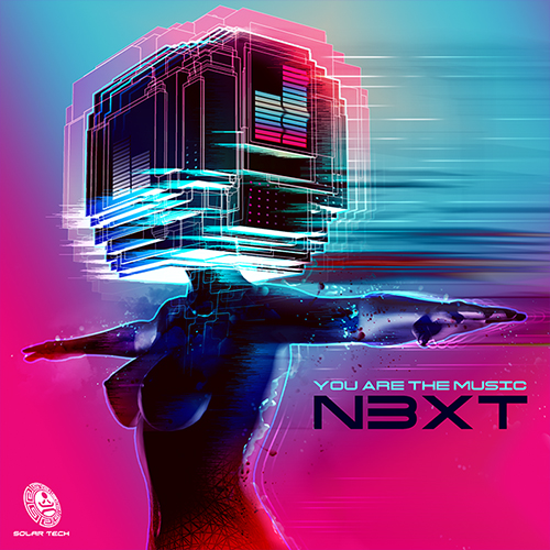
Noise Room Sebastian Lume
-
-
-
 play_arrow
Philadelphia (SoundCloud) Lester Pot
-
-
-
 play_arrow
Oxygen view (Youtube) Miss Angel
-
-


Post comments (0)